How to improve power transmission line planning by GIS
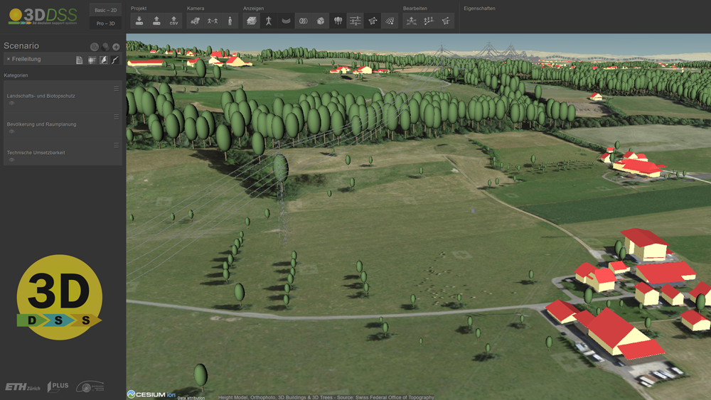
Despite technological advances, power transmission lines are often still planned by hand. Furthermore, the existing approaches go back to the 1980's and show some shortcomings when planning transmission lines. During my doctorate, I devoted six years of research to the question, how this process could be improved in order to shorten the time needed for planning and to make automated transmission line planning more reliable. In the scope of this research, I combined several approaches from rational decision-making, Geographic Information Science, and statistics with each other to develop a 3D Decision Support System (3D DSS) which aims at shortening the time and lowering the costs needed to plan a new power transmission line.
Highlights
-

Developed the 3D DSS – a software for planning power transmission lines at each voltage level
-
New method developed for combining overhead and underground transmission line sections
-
New method developed for identifying several Pareto optimal solutions based on one scenario
The 3D DSS project
Official 3D DSS Project Homepage at ETH Zurich
The 3D GIS / 3D DSS project has been going on for 4 years now. Please visit our project homepage and find more useful information on our product, the 3D Decision Support System (3D DSS) and on our approach how Geographic Information Systems can be used to plan power transmission lines.
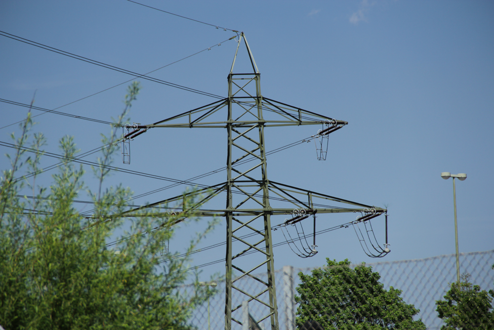
Project 1: Planning Overhead Lines with GIS
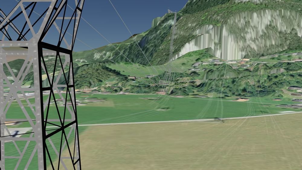
Defining the optimal path of transmission lines is a time consuming planning task that is often impacted by strong social opposition. The scope of this project is the development of an integrated 3D GIS web-platform to define the optimal path of a new transmission line, to enhance the communication among all stakeholders involved in a project and to reduce the social opposition. An improved 3D visualization to be utilized for community-based decision-making will demonstrate to the stakeholders the impact of the new project on the surroundings.
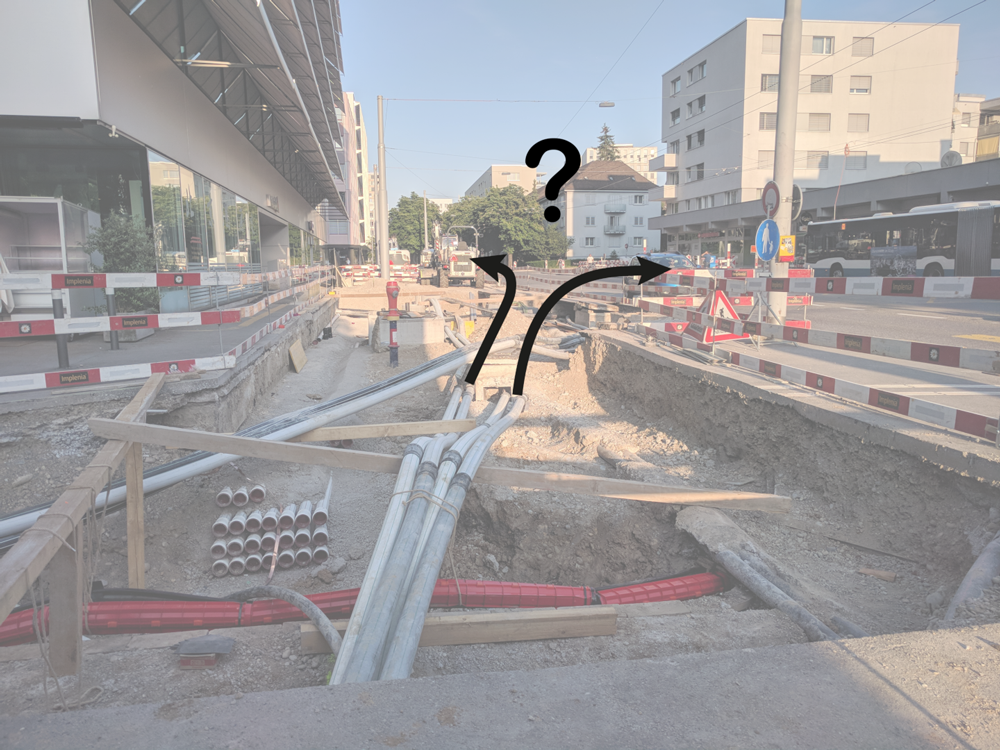
Project 2: Planning Earth Cables with GIS
Geographic Information Systems (GIS) allow calculating and visualizing power line corridors in 3D. However, existing approaches are limited to overhead lines. The goal of this project is therefore to develop an integrative approach that models overhead lines and underground cables taking into account geological, infrastructural, ecological, as well as socio-economic aspects and to integrate the algorithm into an existing 3D web-GIS-platform.